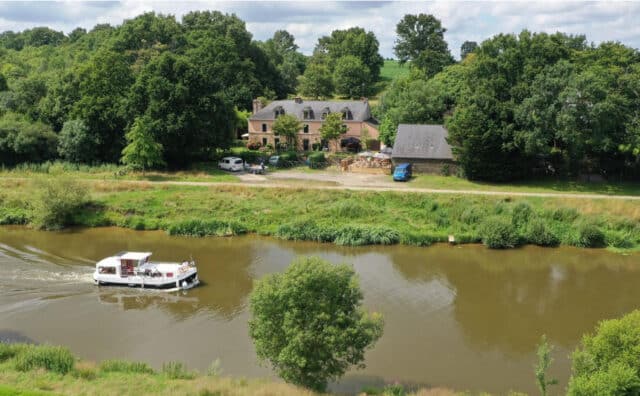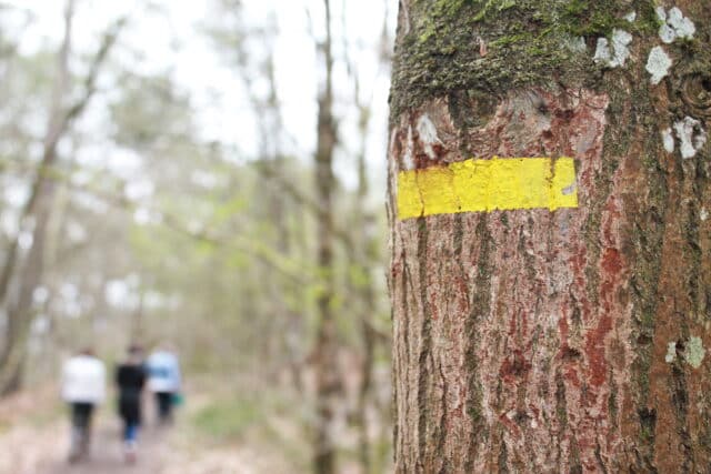

The Pays de Redon is crossed by several major hiking trails: the GR®39, GR®38, GR®347 and the Camino de Santiago de Compostela. Here’s a detailed guide to each route, with points of interest and practical advice. Shall we walk together?
The GR®39
From Mont-Saint-Michel to Guérande
Crossing Haute-Bretagne from north to south, the GR®39 runs from Mont-Saint-Michel to Guérande in Loire-Atlantique, a total distance of around 350 km. The route takes in part of the banks of the Vilaine. A varied itinerary, accessible to hikers of all levels.
In the Pays de Redon, the GR®39 runs for about 80 km from Saint-Ganton to Béganne. Follow the red and white markings.
Saint-Ganton to Redon (48 km)
- Saint-Ganton: Village with typical stone houses.
- Saint-Just: Visit the Maison Mégalithes et Landes and the megalithic site of Saint-Just. Stop off at the gîte d’étape or the Cojoux municipal campsite (Rando Accueil label).
- Renac : Escape to Renac for a gourmet stopover at the Guilbaud bakery-pastry shop.
- Sainte-Marie: Stop off at the Grand Pas bridge with its summer guinguette.
- Redon : Take the quiet towpath along the Vilaine to Redon.
Redon to Béganne (32 km)
- Redon: Discover the town, its port, its historic center, and the confluence of the Vilaine and Nantes-Brest canals.
- Saint-Jean-la-Poterie : Belvédère d’Aucfer and le Patiau, Centre d’Art et d’Histoire de la Céramique.
- Rieux : Marinapicnic area, remains of the ancient castle, municipal campsite and crêperie.
- Béganne: Rohello site, ruins of Chapelle Saint-Cado, Folleux port with brewery/crêperie.
the GR®39 route

Hiking points of interest
- Maison Mégalithes et Landes and the Saint-Just megalithic site
- Grand Pas bridge in Sainte-Marie
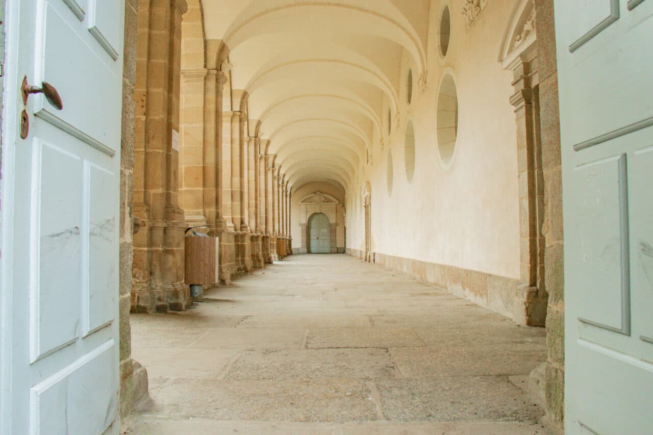
- Visit Redon: Saint-Sauveur abbey, Grande Rue, port district, Sailors’ Cross
- The ceramists’ trail in Saint-Jean-la-Poterie
- Ruins of Rieux castle
- Rohello site, ruins of the Saint-Cado chapel, Folleux port in Béganne
The GR®38
From Redon to Douarnenez
The GR®38 crosses inland Brittany from east to west for around 351 km, passing through moors, forests and valleys.
In the Pays de Redon region, the GR®38 runs from Redon to Saint-Jacut-les-Pins, about 25 km. Follow the red and white markings.
Redon to Saint-Jacut-les-Pins (25 km)
- Redon: Departure along the towpath of the Canal de Nantes à Brest.
- Saint-Vincent-sur-Oust: Stop at theÎle aux Piesa peaceful spot between two granite cliffs.
- Peillac : Pont d’Oust boat stop, parallel to the Nantes-Brest Canal.
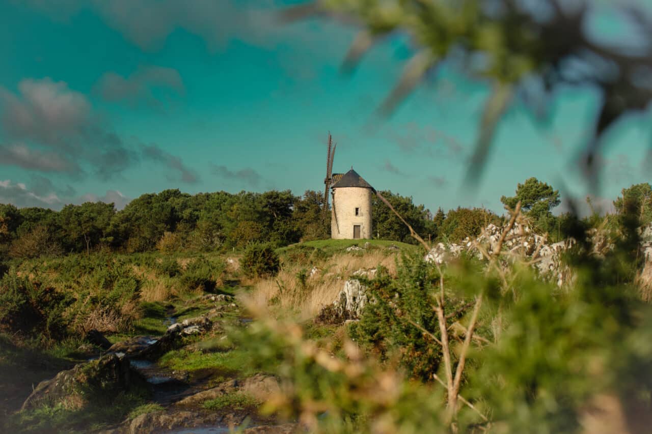
- Saint-Jacut-les-Pins: Butte des 5 moulins with panoramic view and interpretation trail.
the GR®38 route
Hiking points of interest
- Visit Redon Saint-Sauveur abbey, Grande Rue, port district, Marins cross
- L’île aux Pies bank Saint-Vincent-sur-Oust, Maclais lock
- The banks of the Oust at Peillac
- The mill mound at Saint-Jacut-les-Pins
The GR®347
From Redon to Josselin
The GR®347 runs for around 95 km, crossing the Canal de Nantes à Brest.
In the Pays de Redon, the GR®347 runs for about 25 km from Redon to Les Fougerêts on the banks of the Oust, where it meets the Aff. Follow the red and white markings.
Redon aux Fougerêts (25 km)
- Redon: Departure via Bahurel wood.
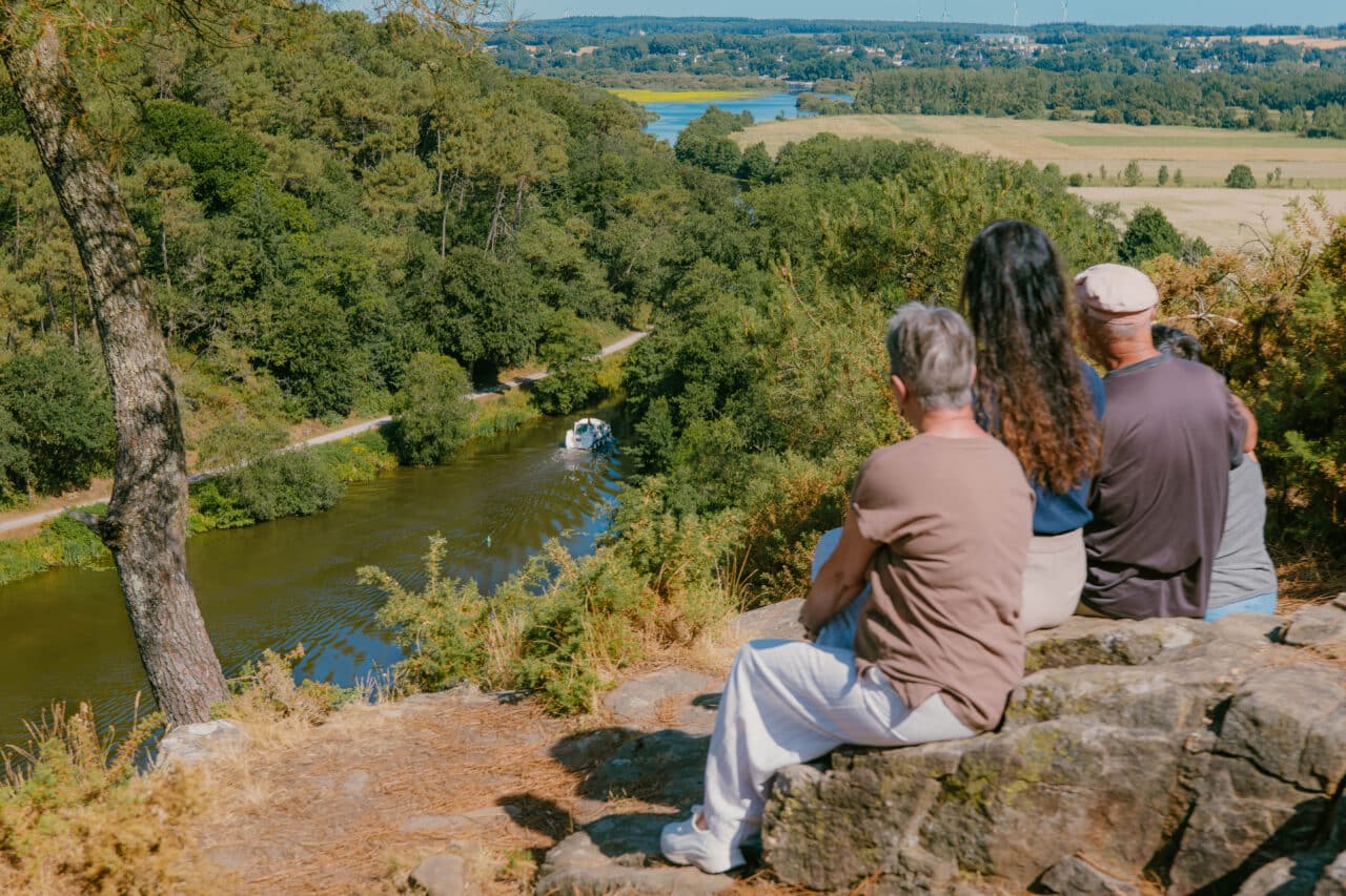
- Canal de Nantes à Brest: Follow the canal and discover the pretty, flower-filled locks at Limur(Peillac) and La Maclais(Saint-Vincent-sur-Oust).
- Bains-sur-Oust:Île aux Pies site.
- Glénac: Close to La Gacilly and Île aux Pies, you can visit the protected site of Le Mortier, part of the Vilaine and Redon marshes.
- Les Fougerêts: Take a cultural and heritage break at the Manoir de la Cour de Launay.
Hiking points of interest
- Visit Redon : Saint-Sauveur abbey, Grande Rue, port district, Marins cross
- The Limur lock and the banks of the Oust at Peillac
- Maclais lock at Saint-Vincent-sur-Oust
- L’île aux Pies in Bains-sur-Oust
- Glénac mortar
- The Cour de Launay manor house in Les Fougerêts
Practical info
Find our map of walking and cycling routes in Pays de Redon.